
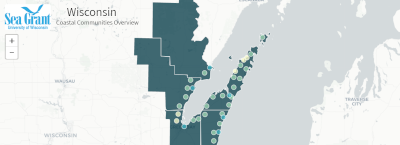
Coastal Communities Overview
The interactive map provides information about the counties, cities, villages and towns that border Lake Michigan and Lake Superior.
Wisconsin Sea Grant Learn more…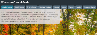
Wisconsin Coastal Guide
This interactive map encourages travelers to explore the many natural and cultural heritage attractions found on Wisconsin’s Lake Michigan and Lake Superior coasts.
Wisconsin Sea Grant
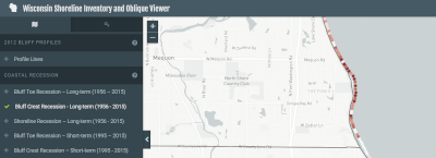
Wisconsin Shoreline Inventory and Oblique Photo Viewer
Explore how the Great Lakes coasts
of Wisconsin have changed since 1976 by viewing oblique photos, beach and bluff
conditions and coastal erosion rates.
Association of State Floodplain Managers for the Wisconsin Coastal Management Program
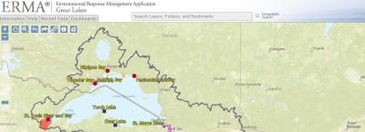
Great Lakes Environmental Response Management Application (ERMA)
This tool supports emergency responders and environmental resource managers with coastal pollution cleanup, restoration, and response efforts in the Great Lakes basin.
NOAA Office of Response and Restoration
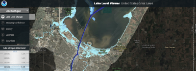
Lake Level Viewer
This interactive map displays the extent and impacts of rising and falling water levels along the
shores of the Great Lakes.
NOAA Office for Coastal Management
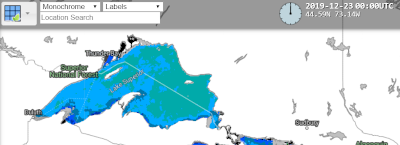
RealEarth
RealEarth is a data discovery and visualization platform with hundreds of products in over 50 categories.
Space Science and Engineering Center, UW-Madison