Geography
Global
Level of Effort
Medium
Overview
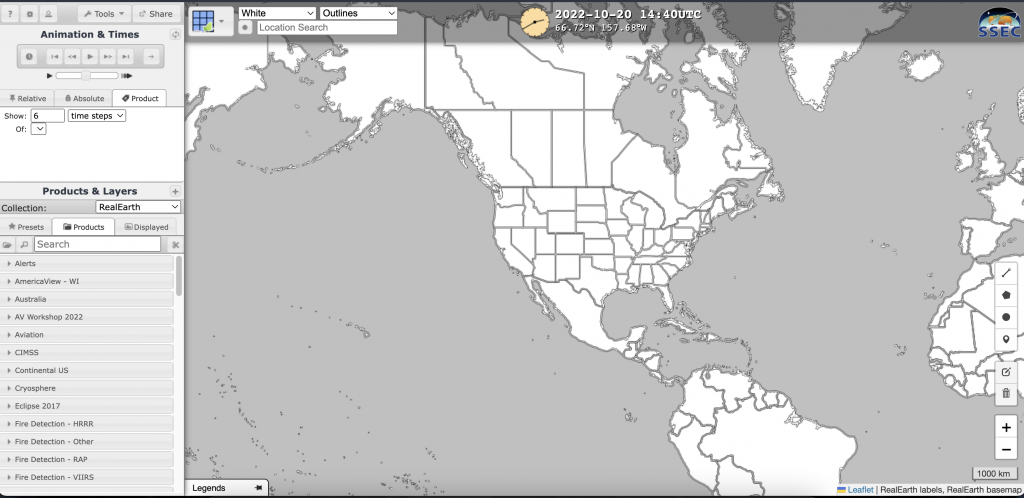
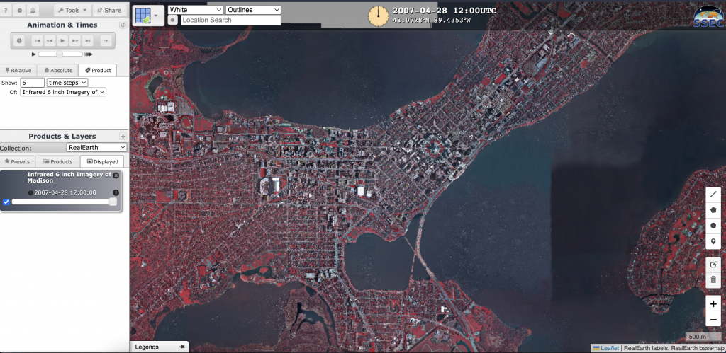
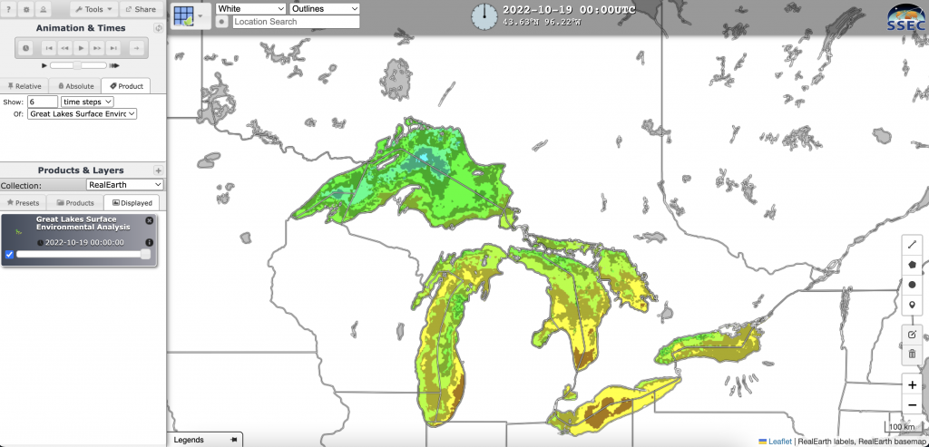
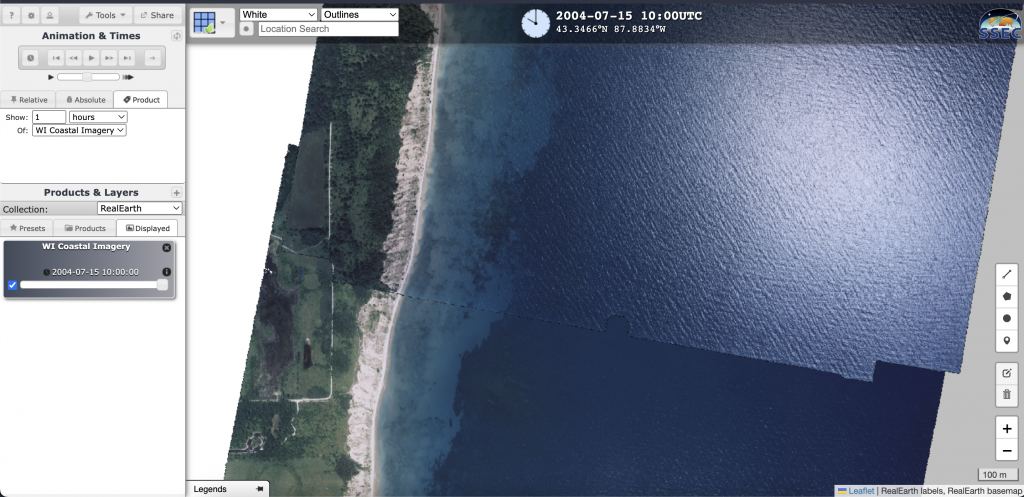
RealEarth is a data discovery and visualization platform that provides quick and continuous visualization of Earth observation imagery and data. RealEarth offers hundreds of products in over 50 categories.


Features
- Animate time-series loops using a variety of land, oceanic, and atmospheric remote sensing imagery and related data
- Access near real-time weather data in standards-based web mapping formats
- Upload your own data to the site in a variety of formats and view it almost immediately
Guidance & Resources
RealEarth was developed to support outreach and collaboration efforts of scientists. The site provides rapid visual access to recent and near real-time data in standards-based web mapping formats. The system can be configured to accommodate long-term access and longitudinal studies, but its strength is the programmatic production of near real-time weather web services.
Map Custodian & Partners
Recommended Products
- UW-Madison Space Science and Engineering Center
- UW-Madison Cooperative Institute for Meteorological Satellite Studies
Tags
Great Lakes, Lake Michigan, Lake Superior, Wisconsin, atmospheric science, meteorology, real time, weather, RealEarth
