About

Information about the project team and partners, as well as research about coastal web atlases.

The Wisconsin Coastal Atlas is a technology platform that enables people to explore and analyze coastal issues, share
coastal data, and inform decision-making about sustainable use of the Great Lakes. It is intended for use by coastal
resource managers, planners, researchers, educators and citizen scientists. 

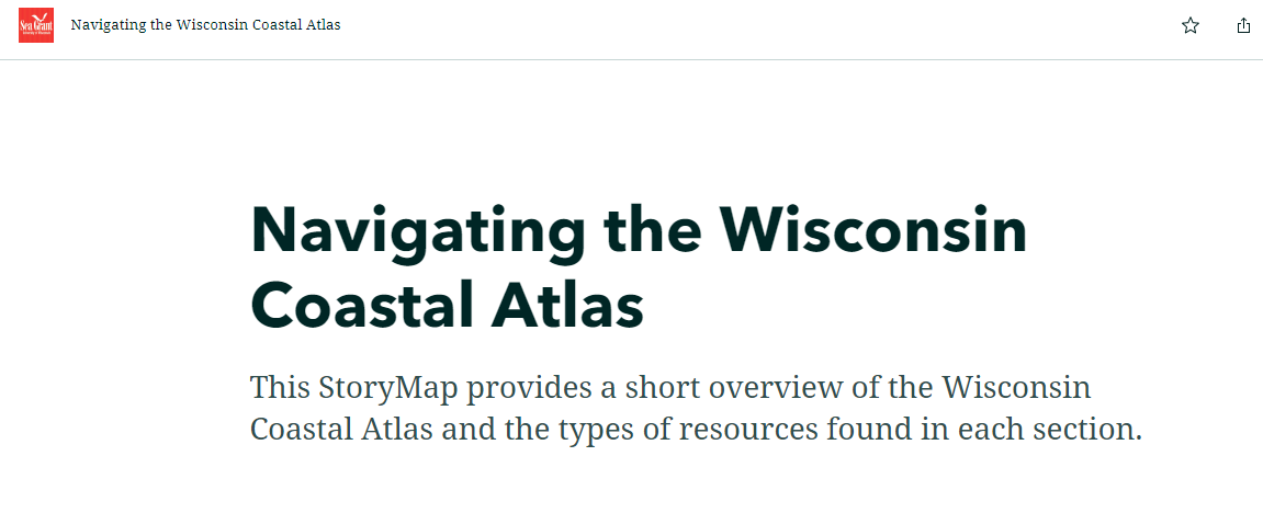
Navigating the Wisconsin Coastal Atlas, Story Map
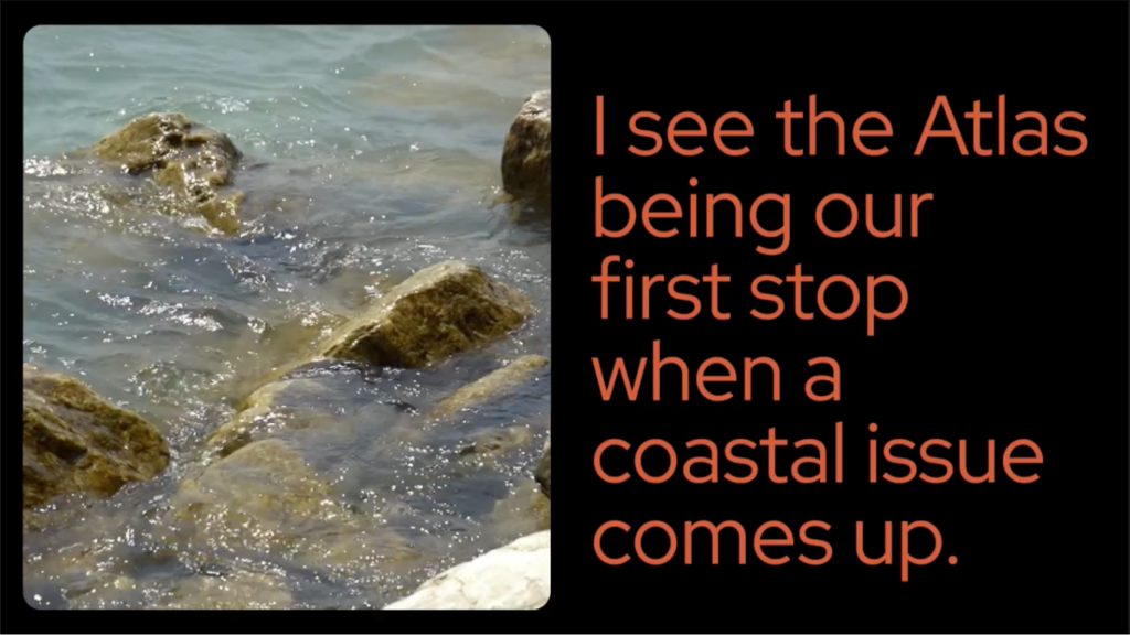
The Wisconsin Coastal Atlas is a website that enables people to explore and analyze coastal issues, share coastal data, and make informed decisions about sustainable uses of the Great Lakes, with a particular focus on Wisconsin. This story map provides details on each section of the Atlas and shows examples of how the resources in the Atlas can be applied to the topic of coastal resilience.

Wisconsin Sea Grant

View the story map…

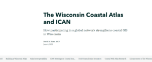
The Wisconsin Coastal Atlas and ICAN: Joining a Global Network, Story Map

Wisconsin Sea Grant, representing the Wisconsin Coastal Atlas, has been an active member of the International Coastal Atlas Network. This story map journal shares the growth and accomplishments of ICAN and how Wisconsin has collaborated to build an interoperable coastal web atlas.

Wisconsin Sea Grant

View the story map…

Research

The research associated with the Wisconsin Coastal Atlas project has many applications.

Coastal Atlas Network

  • The structured process used to design and evaluate the atlas served as a template for coastal web atlas projects in other states and around the world.
  • Guidebooks for choosing the most appropriate web mapping technologies and incorporating sound cartographic design principles in web mapping interfaces were useful for atlas developers and the broader GIS community.
  • Participation in the International Coastal Atlas Network interoperability prototype demonstrated how the Wisconsin Coastal Atlas relates to other coastal web atlases and will be a first step in linking state and provincial atlases to form a networked Great Lakes Coastal Atlas.

Data Governance

  • Identifying the technical and institutional barriers to the development of interoperable spatial data catalogs advanced the development of domain spatial data infrastructures.
  • Development of effective methods for archive of digital geospatial data shed light on a problem facing data custodians at many levels, especially the local government level where resources to address this issue are scarce.

Analysis and Decision Support

  • Application of ontology tools to promote semantic mediation of local government spatial data sets helped enable “just-in-time” spatial analyses of coastal issues at a regional scale.
  • Application of social science methods improved the effectiveness of coastal decision support tools. 

Project Team

Development of the Wisconsin Coastal Atlas began in February 2010 with funding from the University of Wisconsin Sea Grant College Program.

The project team for the Wisconsin Coastal Atlas included staff from:

Initial design of the atlas was based on the Oregon Coastal Atlas and was advanced through collaboration with the Oregon Coastal Management Program, Oregon State University and the International Coastal Atlas Network.

Updates have been inspired by the NOAA Digital Coast and guided by research on coastal web atlases.

Partners

Project partners include state and federal government agencies, non-profit organizations, as well as regional planning commissions covering the coast, counties, municipalities and tribal governments. 

Federal

State

Local

  • Local governments benefited from improved data sharing opportunities.

Publications


Hart D. 2023. How Wisconsin Sea Grant Benefits From the NOAA Digital Coast. February 25, 2023. download

Hart D. 2023. Enabling Resilience to Great Lakes Coastal Hazards through the Wisconsin Coastal Atlas. February 25, 2023. download


Hart D., Prestby, T. and R. Roth. 2022. Design and Evaluation of Coastal Web Atlases: Best Practices and Future Opportunities for Map Representation, Interaction, and Usability. Coastal Management. read


Hart D. 2017. Wisconsin Sea Grant and the Land Information Community. November 8, 2017. download


Hart D. 2014. The Wisconsin Coastal Atlas: Helping Build a Coastal Spatial Data Infrastructure. International Coastal Atlas Network Newsletter. March 2014. read


Sack C. 2013. User-Centered Design for Coastal Web Atlas Maps and Tools: A Process Manual. Wisconsin Coastal Atlas White Paper, August 2013. download


Sack C. 2013. “Tools and best practices for coastal web maps” In CoastGIS Conference 2013: Monitoring and Adapting to Change on the Coast. Eds. Devillers, R., Lee, C., Canessa, R. and A. Sherin. pp. 160-164.


Sack C. and T. Wallace. 2012. Tools and Best Practices for Coastal Web Maps. Wisconsin Coastal Atlas White Paper, October 2012. download


Bauer, J. 2012. Assessing the Robustness of Web Feature Services Necessary to Satisfy the Requirements of Coastal Management Applications. Master of Science Project, Oregon State University, Spring 2012. download


Hart, D. and E. Hamilton. 2012. “Spatial Decision Support Tools for Adaptive Management of Water Resources” in Geographic Information Systems (GIS) and Water Resources VII. AWRA’s 2012 Spring Specialty Conference. Edited by S. Fox. American Water Resources Association, Middleburg, Virginia, TPS-12-1, CD-ROM. download


Hart, D. 2010. “Towards a Wisconsin Coastal Atlas” in D. Wright, E. Dwyer, & V. Cummins (Eds.), Handbook of Research on Coastal Informatics: Web Atlas Design and Implementation. Hershey, PA: IGI Global. pp. 145-155. download


Nyerges, T., Belpaeme, K., Haddad, T., and D. Hart. 2010. “Creating a Usable Atlas” in D. Wright, E. Dwyer, & V. Cummins (Eds.), Handbook of Research on Coastal Informatics: Web Atlas Design and Implementation. Hershey, PA: IGI Global. pp 256-266. download


Kopke, K., Dwyer, N., Belpaeme, K., Berman, M., Taylor, K., Hart, D., and D. Wright. 2010. “Improving Participation of Users in Coastal Web Atlases” in Littoral 2010: Adapting to Global Change at the Coast. London. 21-23 September 2010. download