
Geography
Great Lakes
Level of Effort
Medium
Overview
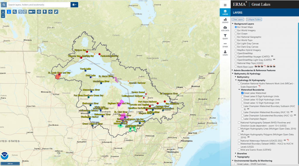
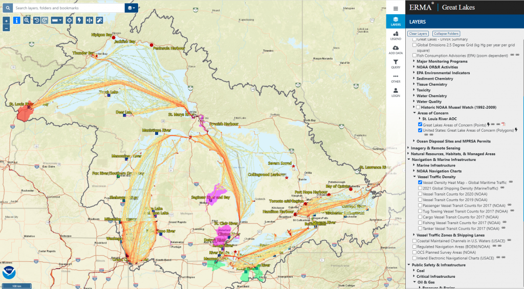
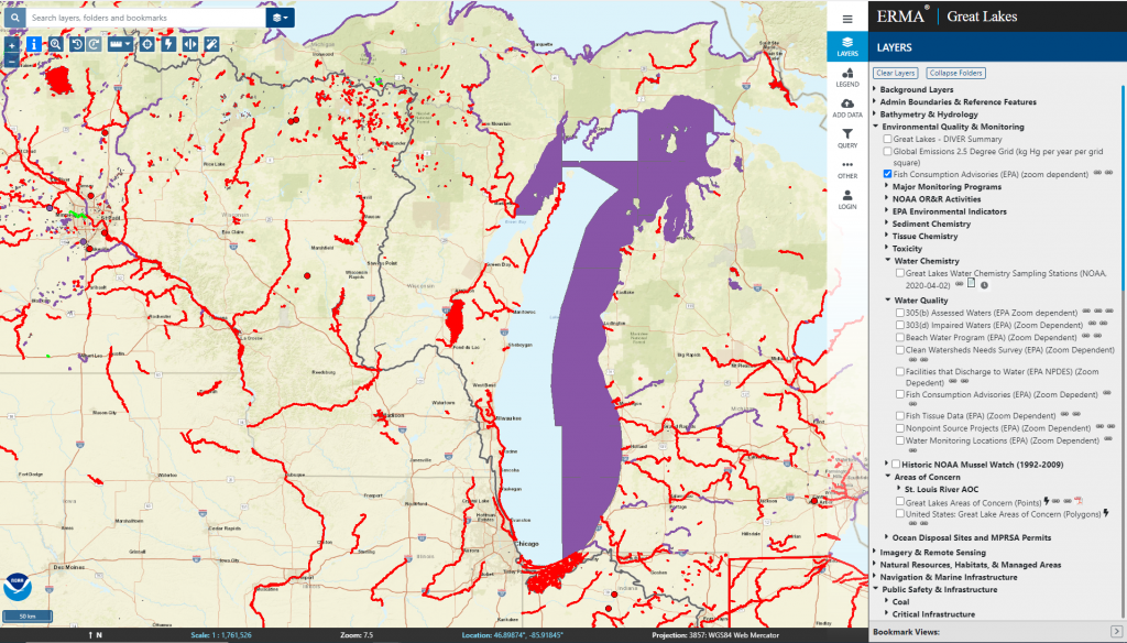
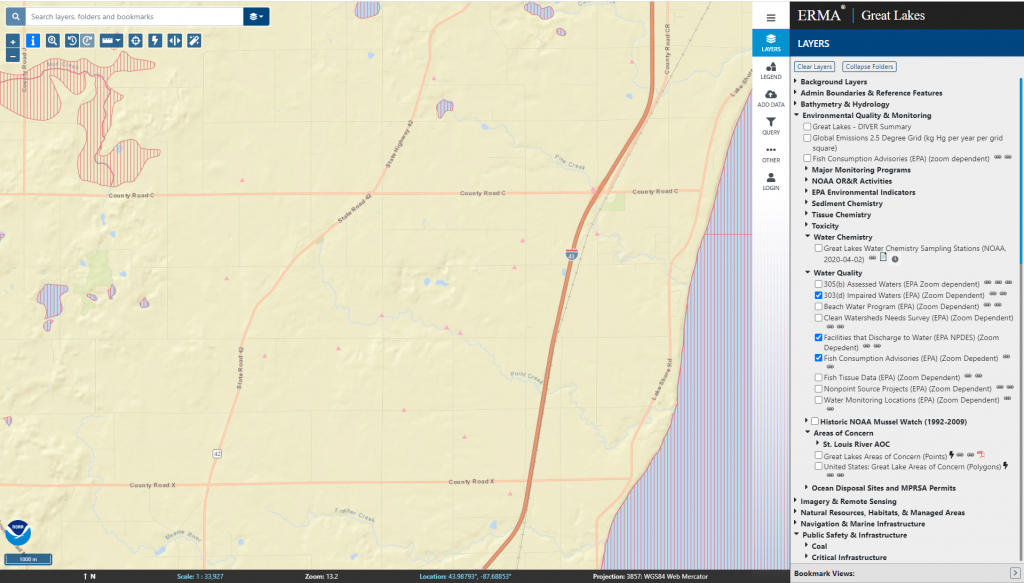
The Great Lakes Environmental Response Management Application (ERMA) supports emergency responders and environmental resource managers with coastal pollution cleanup, restoration, and response efforts in the Great Lakes basin.
Features
- Inform spill preparedness, ecological recovery, and restoration
- Understand the scope and define potential impacts of disasters
- Track progress toward restoring Great Lakes Areas of Concern and healthy freshwater ecosystems
- Query and download contaminant data from NOAA DIVER
Guidance & Resources
Great Lakes ERMA integrates static and real-time data, including Environmental Sensitivity Index maps, ship locations, weather, and ocean currents, into an easy-to-use format. The tool helps emergency responders and environmental resource managers better understand incidents that may adversely impact the environment, including oil spills, chemical spills, and vessel groundings. Great Lakes ERMA provides local response, infrastructure, and environmental data that allow users to find resources at risk, evaluate response plans, and track restoration activities.
Map Custodian
Related Data & Tools
- NOAA Office of Response and Restoration
Tags
environmental response, preparedness, spill, pollution, cleanup, environmental sensitivity, recovery, restoration, Great Lakes, Lake Michigan, Lake Superior, NOAA