
Geography
Wisconsin
Level of Effort
Low
Overview
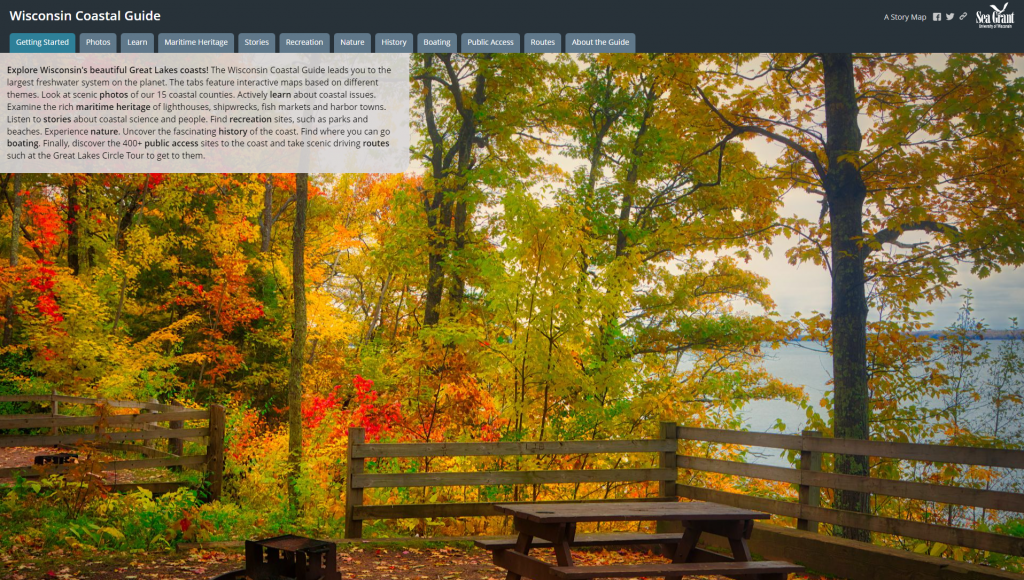
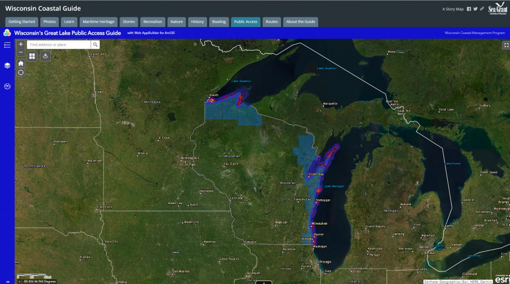
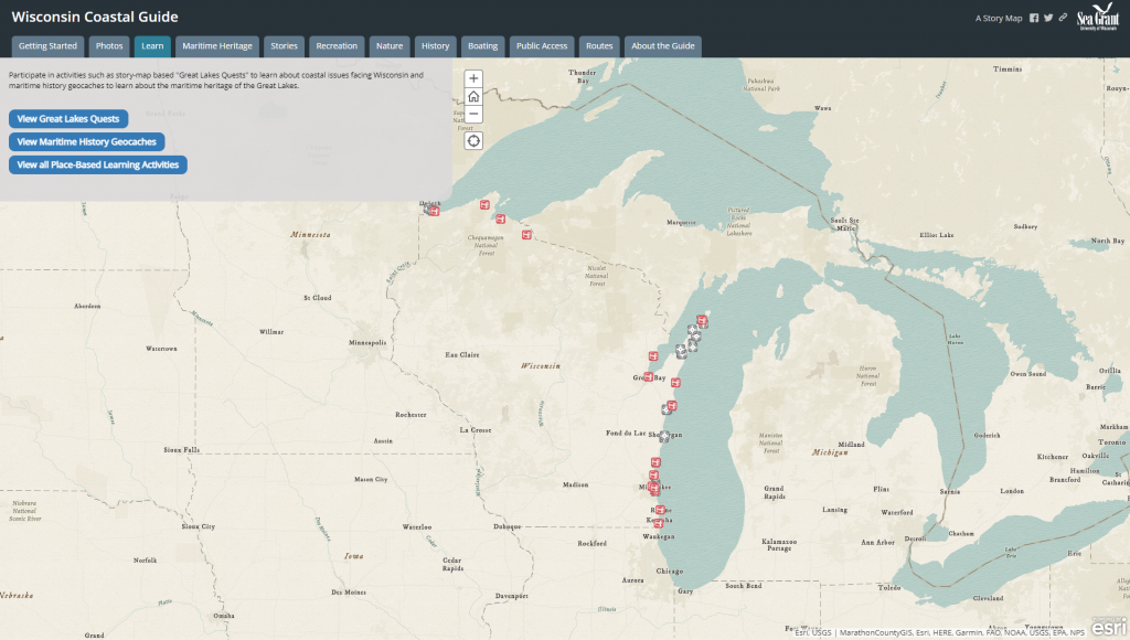
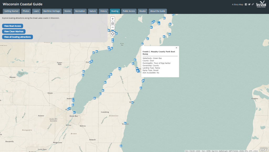
This interactive map that encourages exploration of coastal heritage tourism attractions along the Great Lakes Circle Tour. The guide maps the locations of parks, beaches, lighthouses, shipwrecks, historic sites, nature centers, state natural areas, marinas and boat access.
Features
- Learn about coastal issues, maritime heritage, and historic sites along the coast
- Find parks, beaches, boating areas, and public access sites to the coast
- Listen to stories about coastal science and people
Guidance & Resources
This map is intended for a wide audience, including educators, resource managers, and tourists. For the educational community, the guide is a tool teachers can use to show students the scenic beauty and culture of the Great Lakes. Resource managers benefit from the public access inventory and easy access to geospatial data about the Great Lakes coast. Potential visitors can learn about cultural tourism attractions along the Great Lakes coast.
Map Custodian & Partners
Related Data & Tools
- Wisconsin Sea Grant
- Bob Hundt Photography
- University of Wisconsin Cartography Lab
Tags
place-based learning, recreation, boating, maritime, public access, scenic route, wildlife, Great Lakes, Lake Michigan, Lake Superior, Wisconsin