
Geography
Great Lakes
Level of Effort
High
Overview
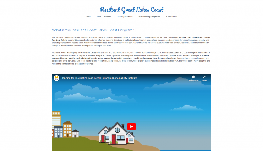
The Resilient Great Lakes Coast program is a multi-disciplinary research initiative meant to help coastal communities across the states bordering the Great Lakes to enhance their resilience to coastal flooding.
Features
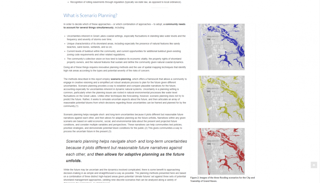
- Learn about different approaches used in coastal resilience strategies and the benefits of scenario planning
- Identify high-risk areas, land use impacts, and environmental impacts in the community
- Conduct a community vulnerability assessment and a fiscal impact analysis
- Visualize the results of your analyses to better communicate with stakeholders and the public
- Read reports from two Lake Michigan coastal jurisdictions that outline challenges and policy options to protect coastal areas
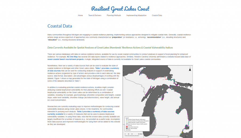
- View an up-to-date list of useful data sources that can be used to evaluate the state of coastal resilience along the Great Lakes
Guidance & Resources
The methods used in this tool were crafted to help local planners analyze shoreline dynamics, fiscal impacts, environmental vulnerabilities, visualized high risk areas, and land use impacts. Coastal communities can use the methods found here to better assess the potential to restore, retrofit, and recouple their dynamic shoreline through state shoreline management policies and laws, as well as with local master plans, regulations, and polices.
Tool Custodian & Partners
Related Data & Tools
- University of Michigan – Taubman College of Architecture & Urban Planning
- Michigan Technological University – Great Lakes Research Center
- Land Information Access Association
Tags
water levels, coastal resilience, coastal flooding, planning, climate vulnerability, climate adaptation, Great Lakes, Lake Michigan, Lake Superior, Wisconsin, Michigan