
Geography
Wisconsin
Level of Effort
Low
Overview
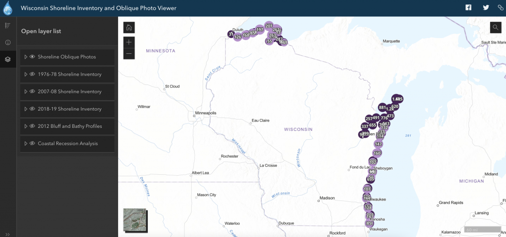
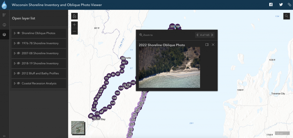
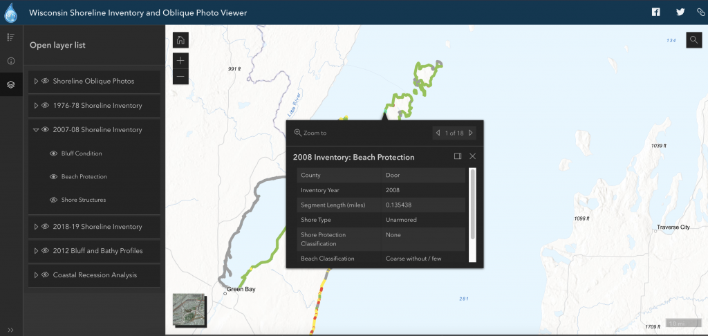
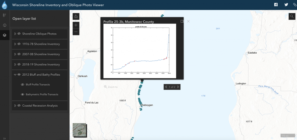
This interactive map includes geolocated oblique air photos of Wisconsin’s shorelines from the mid-1970s to present day, shoreline inventories showing coastal structures, assessments of bluff conditions, bluff and bathymetric profiles, and – for southeast Wisconsin – measurements of short-term and long-term shoreline recession.
Features
- View trends in shoreline inventory data over time
- Visualize areas based on shoreline condition assessments
- View shoreline recession data for southeast coastlines
- Compare aerial photos to the data gathered during shoreline inventory procedures
- Download photos and data
Guidance & Resources
The Wisconsin Shoreline Inventory and Oblique Photo Viewer is designed to help users better understand Wisconsin’s Great Lakes coastlines and how they’ve changed over time. It’s intended for anyone to use, including decision makers, planners, managers, and property owners.
Map Custodian & Partners
Related Data & Tools
- Association of State Floodplain Managers
- Dr. David Mickelson, Geo-Professional Consultants, LLC
- Wisconsin Coastal Management Program
- WisconsinView
- Wisconsin Wing, Civil Air Patrol
- University of Wisconsin Sea Grant Institute
- University of Wisconsin-Madison Coastal Sustainability Laboratory
- University of Wisconsin Civil & Environmental Engineering
- Caitlin Wolters
Tags
visualization, coastal recession, shoreline inventory, bathymetry, bluff profiles, oblique photos, shoreline photos, Great Lakes, Lake Michigan, Lake Superior, Wisconsin