
Geography
Wisconsin
Level of Effort
Medium
Overview
This resource provides a collaborative support environment for a Community of Practice focused on drainage culvert inventories, hydrologic models and flood hazard planning.
Features
- Access data related to culverts in the Lake Superior region of Wisconsin
- Share data and tools within the community of practice to improve Wisconsin’s culvert mapping approaches and datasets
Guidance & Resources
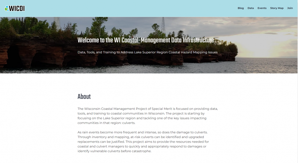
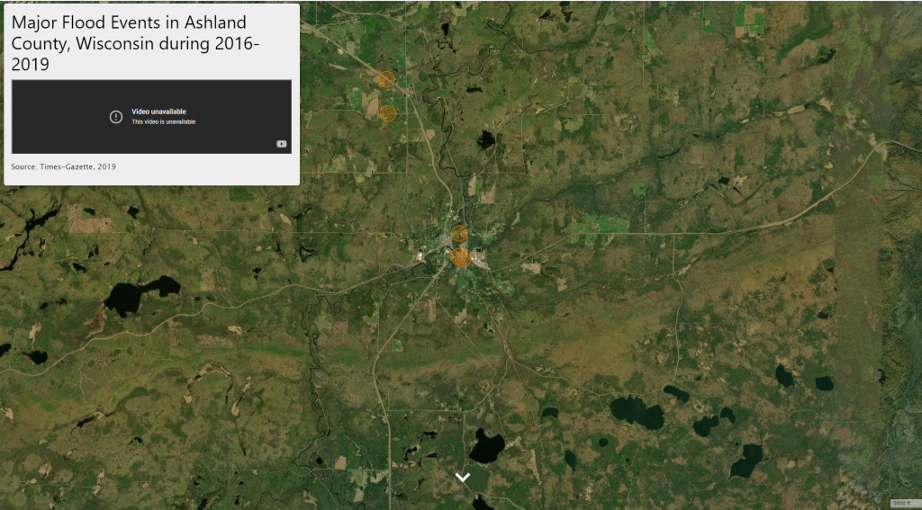
As rain events become more frequent and intense, so does the damage to culverts. Through inventory and mapping, at-risk culverts can be identified and upgraded replacements can be justified. This project aims to provide the resources needed for coastal and culvert managers to quickly and appropriately respond to damages or identify vulnerable culverts before catastrophe.
Catalog Custodian & Partners
Related Data & Tools
- Wisconsin Coastal Management Program
- Wisconsin Department of Administration
- Wisconsin State Cartographer’s Office
Tags
culvert, dataset, data collection, rain, infrastructure, Great Lakes, Lake Michigan, Lake Superior, Wisconsin, WI Coastal Management