
Geography
Wisconsin
Level of Effort
Low
Overview
The Wisconsin DNR GIS Open Data Portal is a free resource for locating, viewing, and downloading data developed and maintained by the Wisconsin DNR.
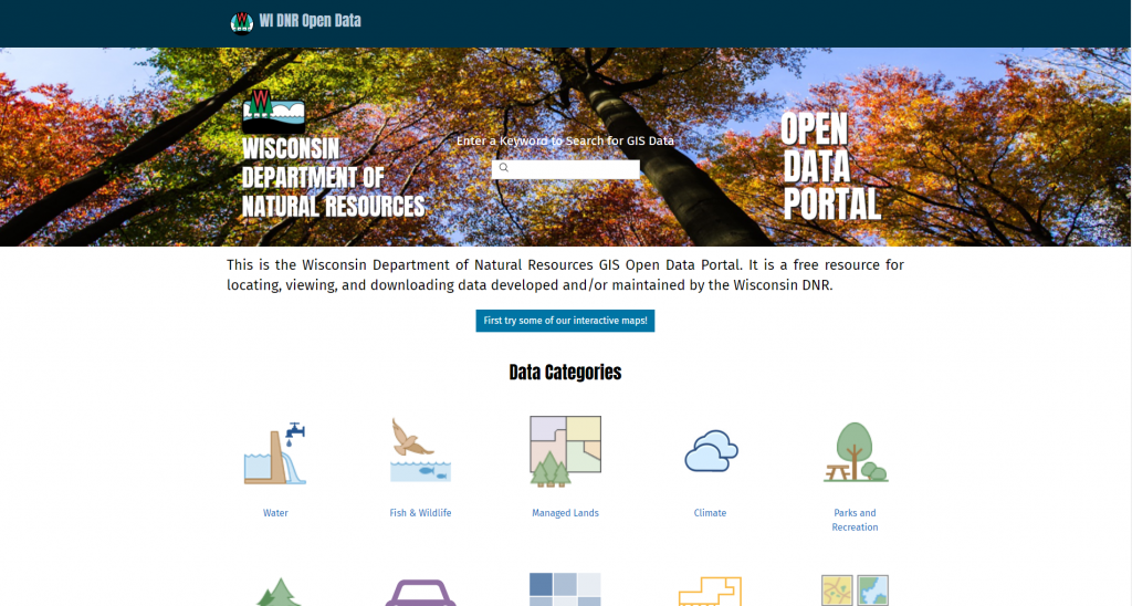
Features
- Access the DNR’s set of interactive mapping applications for a variety of use cases, including recreation, land use, watersheds, and others
- Find geospatial datasets for categories such as forestry, transportation, municipal boundaries, parks, and more
- Browse for datasets by category or search by name
Guidance & Resources
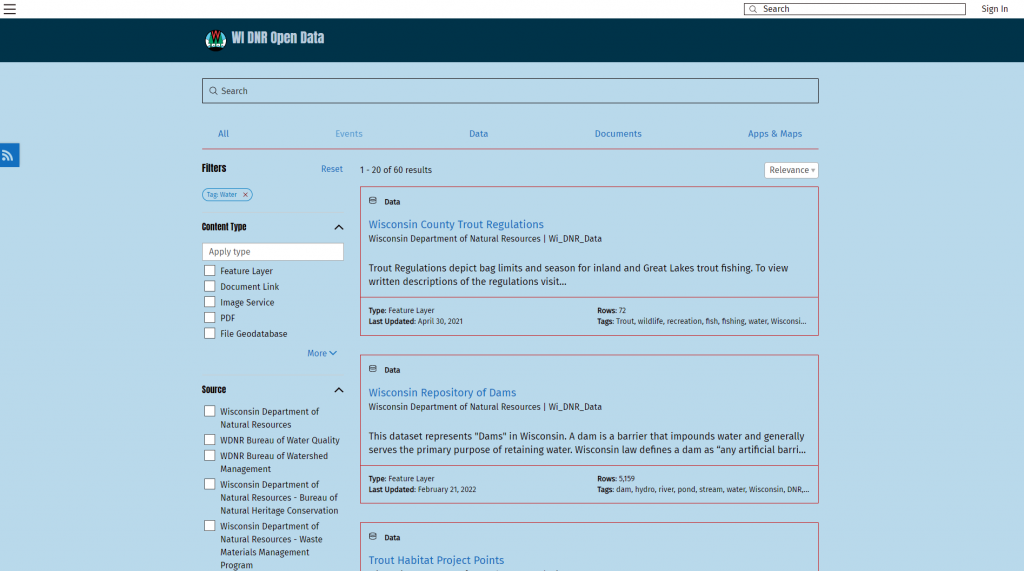
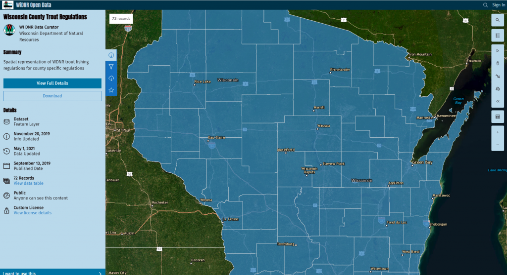
Users can search for and download frequently-requested DNR geospatial data on the DNR GIS Open Data Portal. Most geospatial data available from this portal can be downloaded free of charge. If you can’t find what you need on the DNR GIS Data Portal, use the search bar on the DNR homepage to find topic-specific webpages that may include links to the geospatial data and/or contacts you need.
Catalog Custodian
Related Data & Tools
- Wisconsin Department of Natural Resources
Tags
geodata, geospatial data, state agency, municipal data, data portal, Wisconsin, DNR