
Geography
National
Level of Effort
Low
Overview
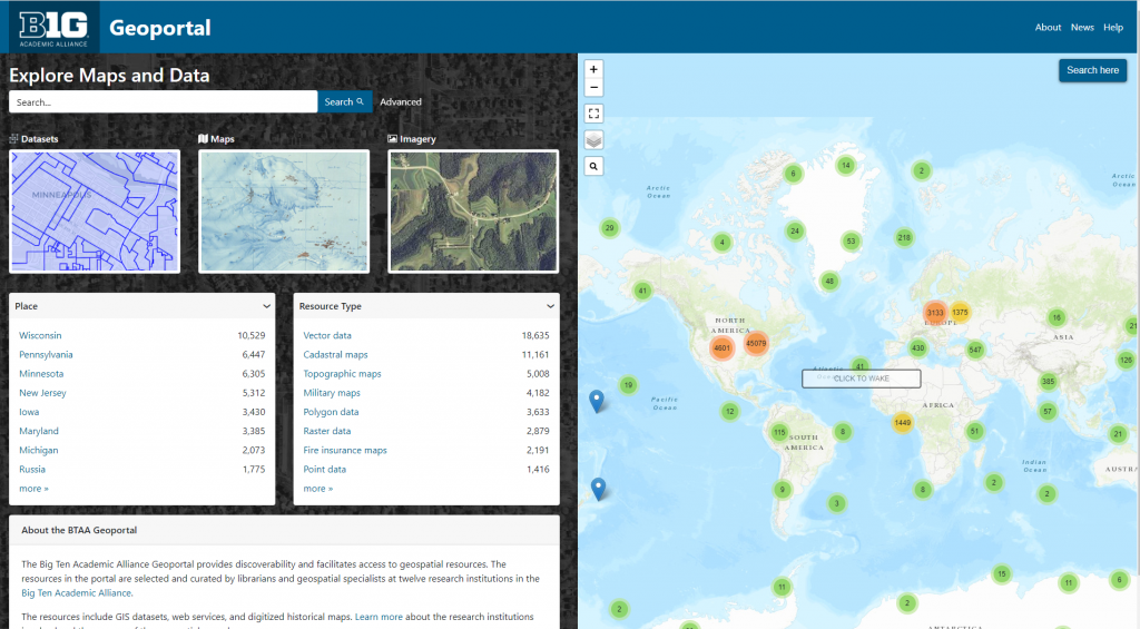
This resource connects users to digital geospatial resources across the universities in the Big Ten Academic Alliance, including GIS datasets, web services, and digitized historical maps from multiple data clearinghouses and library catalogs.
Features
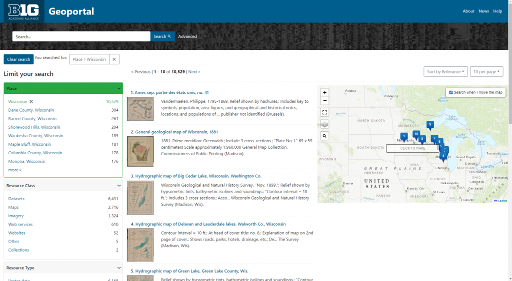
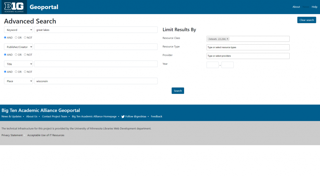
- Find and download GIS datasets, web services, aerial imagery, and digitized historical maps
- Search by location, type of data, or publisher of the data
Guidance & Resources
The Big Ten Academic Alliance Geoportal provides discoverability and facilitates access to geospatial resources. The resources in the portal are selected and curated by librarians and geospatial specialists at twelve research institutions in the Big Ten Academic Alliance.
Catalog Custodian
Related Data & Tools
- Big Ten Academic Alliance Geospatial Information Network
Tags
geodata, geospatial data, state agency, municipal data, aerial imagery, data portal, Wisconsin, Great Lakes, Lake Superior, Lake Michigan